April 2018, Vol.245, No.4
Features
Coastal Reclamation Projects Attempt to Protect Pipelines
Special to Pipeline & Gas Journal
Thousands of miles of pipeline canals that previously ran through Louisiana’s wetlands now resemble, from an aerial view, straight green lines that reach the Gulf of Mexico.
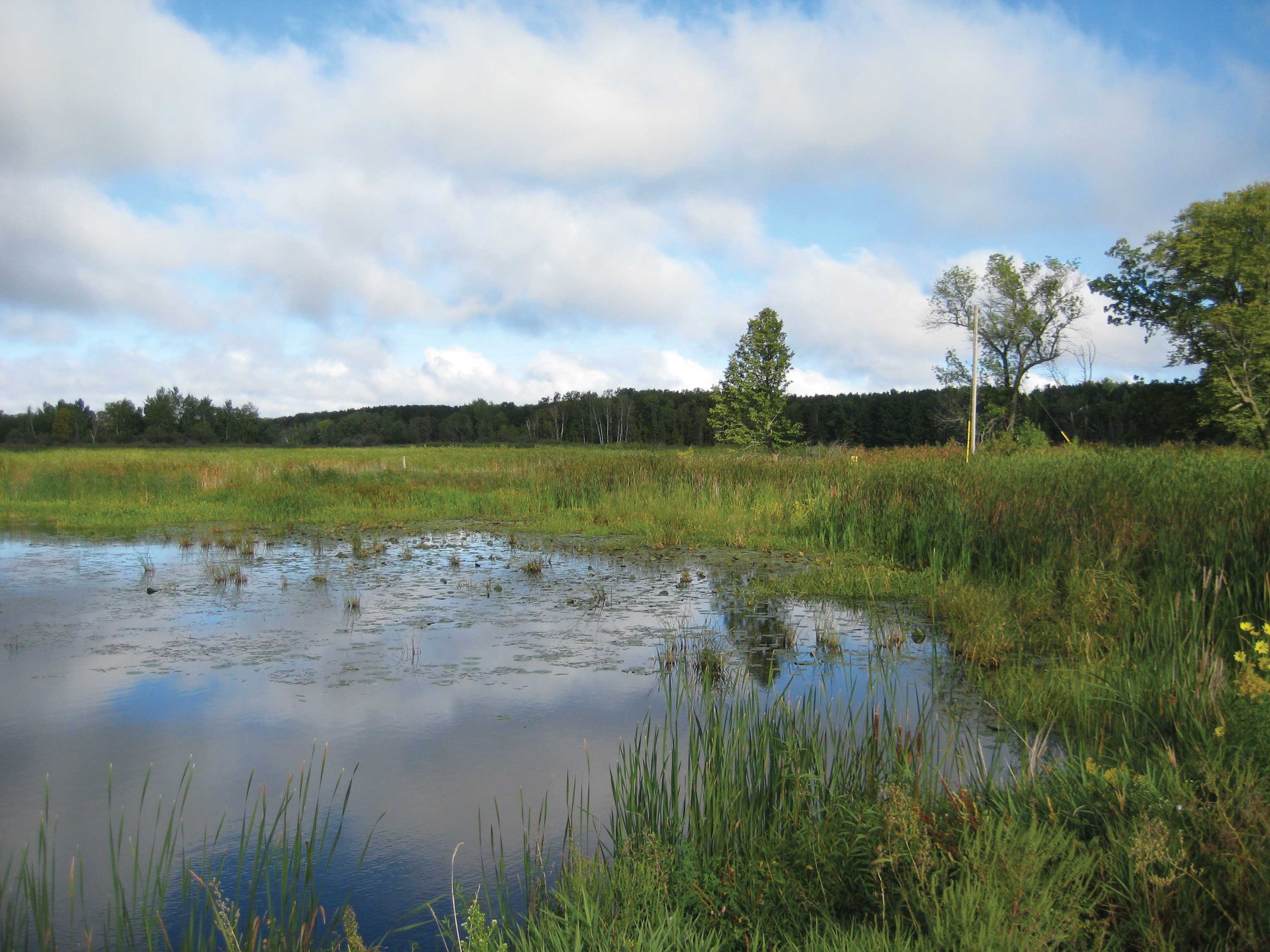
These canals were once responsible for making the flow of natural gas and oil possible. Now they make it impossible to prevent the salt water from eating away at the wetlands as it flows inland.
The Situation
It is difficult to determine how much of Louisiana’s energy infrastructure is at stake from the fading coastline; one Bloomberg article approximates that it’s around $100 billion worth of refineries, pipelines, ports and tanks.
In an attempt to prevent this, the America’s Wetlands Foundation has joined energy companies like CITGO Petroleum Corp., Conoco Phillips and Chevron Corp. to construct a $1 million, one-mile pilot project to alleviate Gulf Intracoastal Waterway erosion. Entergy, another energy company, has also put together a guide with suggestions on how to prevent the loss of our coast.
Chevron Corp., Exxon Mobil Corp., BP Plc. And Royal Dutch Plc. have neglected to comment on just how much they’ve invested in coastal projects. With this, it doesn’t look like energy companies are planning on coughing up much money to help, even though billions of dollars are desperately needed to fund this operation.
Roughly 20 square miles of coastal land disappear each year, and the marsh protecting the pipeline network goes with it. As a matter of fact, according to a Louisiana State University study, over 610 miles of this pipeline could become exposed within the next 25 years.
This loss of swampland and barrier islands also adds to the risk of flooding. Without the natural buffer soaking up the rainfall, storms are more likely to result in flooding similar to what was seen last year in Baton Rouge.
Moving Forward
These problems have been present for years, which is why Louisiana is using most of its 2010 Deepwater Horizon oil spill settlement share on coastal restoration.
Louisiana’s master plan for hurricane protection and coastal restoration involves marsh creation projects in the Terrebonne and Barataria basins and projects that protect lake and coastal shorelines in Western Louisiana.
The plan lists guidelines for elevating houses, flood-proofing businesses and instructing residents on how to evacuate safely from the highest risk flooding areas. It also includes restoration and risk reduction projects. It discusses sediment diversion, structural protection, barrier island restoration and hydrologic restoration. Below is a summary of five of the projects involved in the plan and what the state aims to accomplish with them.
South Terrebonne
Louisiana’s most expensive restoration project in this master plan costs $1.8 billion and will generate 25,000 acres of marsh south and west of Dulac, between the Houma Navigation Canal and Bayou du Large.
The coastal master plan claims that Cocodrie, Dulac, Chauvin and neighboring communities are still at high risk for flooding. It will take 18 years to finish this project.
Belle Pass-Golden Meadow
Over the next half-century, Lafourche Parish may lose 41 percent of its land. One goal of this project is to reverse this trend by generating 25,000 acres of marsh over the next 20 years, costing about $1.6 billion.
The restored wetlands stretch for 20 miles over Bayou Lafourche, between Port Fourchon and Golden Meadow.
North Lake Mechant
The Coastal Protection and Restoration Authority states that over the next several decades, Terrebonne Parish risks losing almost half of its area. This is why the $1 billion project goal is to revitalize roughly 13,000 acres of marsh in central Terrebonne.
The new marsh will span from Lake Mechant to Lake De Cade and serve as support against land loss in the future. The project is also reconstructing a crucial land bridge barrier between the “higher saline environment” of Lake Mechant and the erodible fresh marshes north of Bayou De Cade.
New Orleans East Landbridge
Between Slidell and New Orleans, on the east side of Lake Pontchartrain, roughly 21,000 acres are behind reclaimed after decades of tropical storm damage.
This project – predicted to take another 21 years to finish – will protect the Orleans Landbridge and, in turn, safeguard the wildlife and fish that depend on these marsh habitats.
The $1.5 billion project will also preserve communities residing along the lake. To learn more about New Orleans Landbridge Shoreline Stabilization and Marsh Creation.
East Calcasieu Lake
The Coastal Protection and Restoration Authority approximates Louisiana’s Cameron Parish to lose over 440 acres within the next 50 years, the most land out of any parish.
In the next 13 years, the $1.1 billion East Calcasieu marsh project aims to reclaim 17,000 acres of marsh in the east Cameron-Creole watershed. P&GJ

Comments