
July 2015, Vol. 242, No. 7
Features
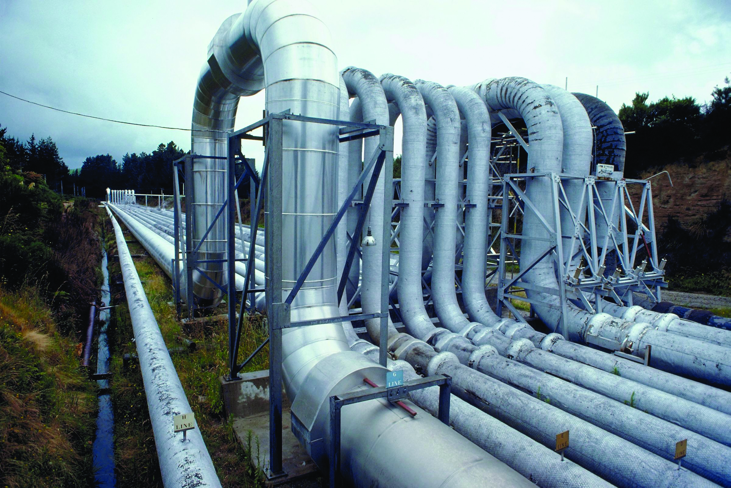
Effectively Using New Data Technologies for Pipeline Routing
Oil and gas companies are using information technologies and resources now accessible on desktops for planning new pipeline routes. Technologies and resources include geographic information systems (GIS), mobile information technology, satellite imagery, topographic maps, environmental data and tax data.
GIS creates a platform upon which data from multiple sources can be organized into a simple format, allowing companies to determine the best and most effective route. With satellite imagery, one can regularly see existing pipeline corridors that could provide potential routes as well as areas to be avoided, such as buildings, neighborhoods and lakes.
Satellite imagery is available in high resolution, often less than 1 meter, and frequently updated for many parts of the world. Areas designated as environmentally sensitive include wetlands and threatened or endangered species habitats for which data are readily available throughout the United States and other countries.
Pipeline planners are becoming equally proficient with using a growing range of tools, such as GIS and mobile information technology, to ensure surprises don’t derail efforts when boots meet the ground along planned routes. Physically traveling along potential routes allows pipeline planners to see features that don’t appear in outdated satellite imagery. A recent change like a new neighborhood, building or even a pipeline may not show up on publicly available data.
Other information sources, such as tax maps, have varying degrees of accuracy. Pipeline planners who become adept at using mobile information technology tools can incorporate this information into their plans and then find the best way to route the pipeline.
‘Three-Legged Stool’
Pipeline planning has long been influenced by three major factors – land, environmental and engineering. In order to stay competitive, planners must understand how information technology can be used to understand each of these areas.
Knowledge of land issues is critical to proper routing. Information technologies allow one to integrate landowner and parcel information into a GIS. When the GIS is integrated with mobile technology, field personnel can access information to collect data from county assessor’s offices and contact landowners for permissions.
Good information technology allows field staff to enter information into a mobile device and then transfer the data to the central database for the project. In places without good cellular reception such as the hills of central Pennsylvania, planners generally rely on satellite-based GPS technology for accurate location-setting.
This can include equipping the field staff with tablets that show which parcels of land the company has arranged access to and which have yet to be negotiated. Even in remote areas without cellular coverage, field staff can use “disconnected editing” to updates data on handheld units to be uploaded to the central database when the device is within cellular range again. Keeping field data updated with the central database can ensure that moving a planned route does not create unforeseen problems.
As mentioned, finding existing pipeline corridors is useful when planning the route of a new pipeline. Updating information through mobile devices allows office personnel to evaluate potential routes based on up-to-the-minute field notes that are not shown on other maps.
Other changes may include a landowner who originally agreed to give access for pipeline routing but changed his or her mind. A landowner may also want to keep the pipeline off a farmable field by directing the planners to a wetland area, which isn’t practical from an environmental-permitting standpoint.
Pipeline planners use information technology to evaluate the cost of one route vs. another. For example, the expense of routing a line around the property of a confrontational landowner may be significantly more costly than paying more for access across the property. Current information technology creates a system by which data collected in the field can be integrated with existing data in order to resolve land issues using the most cost-effective method.
Avoiding Permitting Costs
While some environmental-permitting issues and costs are inevitable, implementing best information technology practices can help develop a route that avoids the most problematic areas. A direct, straight-line routing choice may seem to be low cost from a desktop-data perspective, but it becomes more expensive when a field assessment reveals unexpected, environmentally sensitive areas.
Time can be a factor and is often directly related to the schedule needed to perform environmental studies and obtain permits in a timely fashion. For example, a narrow time frame may only be available once each year for cutting trees in order to protect endangered or threatened species, such as the Indiana bat.
Cultural or historical resources, such as the site of a pioneer settlement or a Native American village, can involve investigation and the relocation of artifacts, which must be factored into costs and timelines. Mobile technology can add the new information to the central database so a route can be chosen that minimizes permitting costs.
Engineering is the third factor in pipeline routing. This involves determining what is technically possible and feasible. For example, horizontal directional drilling (HDD) can be a good way to cross watercourses to avoid disturbing the stream and its banks. However, HDD may be unfeasible where there are significant changes in elevation or certain rock and soil types are found.
Like the previous factors, all engineering choices involve trade-offs. Each option comes with a variety of elements that can add to or minimize the costs. In Marcellus-Utica operations, it can cost about $200,000 to cross over another gas line. If a route involves 10 crossings, the cost would amount to $2 million of the construction budget. Information technology can help compile the costs and relative merits of a range of choices.
There are ways oil and gas companies can get good results from external engineering firms and using information technology to support pipeline routing.
Oil and gas companies must be clear about how engineering firms can best work with them. Some companies want detailed, granular data for import into their own planning systems. Others want a more user-friendly, Google Earth-like report for planning at a boardroom level. Companies need to be informed about the options for data delivery so that what the engineering firm provides meets their needs.
‘Goldilocks’ Approach
Oil and gas companies must factor in the tradeoff between accuracy and costs; in other words, time vs. money. Understanding the required level of accuracy on any given part of a pipeline project is critical – not too little, or too much, but “just right.”
Current GPS technology can produce impressive levels of accuracy. However, developing maps and numerical data for planning a pipeline route that is accurate down to the inch is usually unnecessary, in part because backhoes and other equipment will disturb the survey stakes regardless.
Companies may also need to budget for higher accuracy when working in inhabited areas, particularly heavily developed parts of major cities. A higher level of accuracy is also necessary in developing as-built drawings of the completed pipeline. Companies typically focus on ensuring that the final drawings accurately indicate what’s in the ground.
Considering the three-legged stool analogy again, an oil and gas company may be heavily compartmentalized within the land, environmental and engineering categories, which can put the skill set of each group to good use. When planning a pipeline route, one must realize that one leg of the stool affects the other two, meaning that a solution that works well for engineering may cause significant problems and costs in the environmental-compliance area.
Good pipeline routing involves considering all three legs of the stool. Using information technology wisely helps to balance the costs for implementing the best solution.
Authors: Sheila McGinty holds a doctorate in geosciences at University of Tulsa and is a GIS analyst with Audubon Field Services.
Ed Northrop, PLS,CFM is the director of Oil and Gas-Marcellus and Utica Region at Audubon Field Solutions.
Scott Dauzat is the vice president-Business Development at Audubon Field Solutions.

Comments