
September 2014, Vol. 241, No. 9
TechNotes
ALMA Provides Smarter Gas Pipeline Aerial Survey
Gas transportation companies have a wide variety of choices to make concerning pipeline inspections. Aerial technologies that include measurement of gas concentration and recording capabilities are gaining ground in this regard; one of the conventional systems is called aerial laser methane assessment, or ALMA for short, but how does it work?
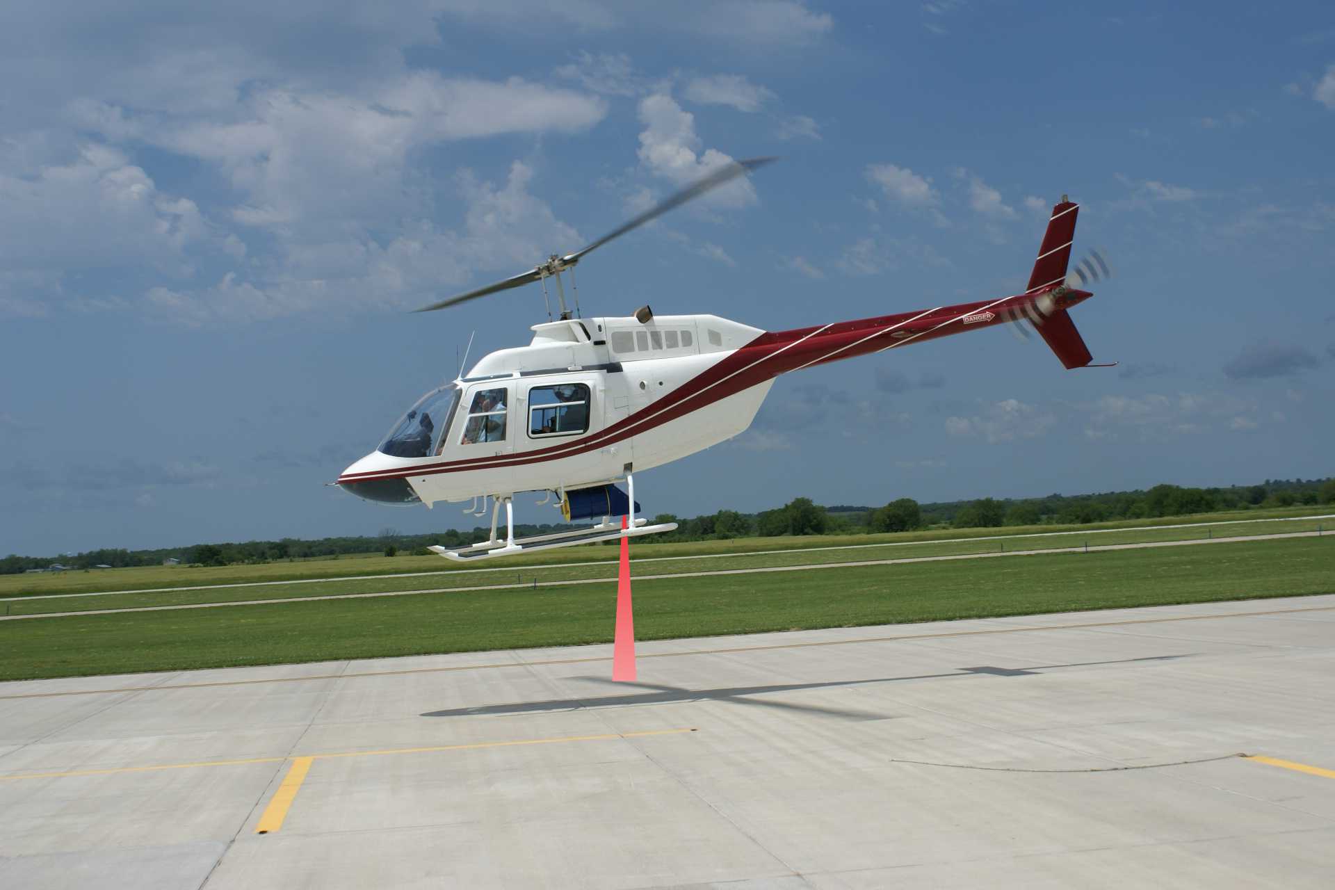
Dead, brown vegetation that has been starved of oxygen is a reliable sign of a gas leak. It is generally observed by an inspector viewing the corridor from a helicopter. This method can become more sensitive and comprehensive with the attachment of a small piece of technology to the helicopter.
With the inclusion of such a device, gas leaks that rise only a few parts per million (ppm) can be detected reliably on both aboveground and buried pipelines. In addition to earlier detection of leakage, the corridor can be filmed during the same flight.
“This detailed reporting tool became an important component of our inspection efforts and provided us with valuable historical data,” a representative of a large U.S. gas grid operating company said. “The leak data was shared with our integrity management group. The right-of-way (ROW) video was enormously important to our encroachment control department.”
In fact, a video documentation of the ROW is a vital instrument to identify erosion, landslides or external threats well in advance.
There are essentially three different concepts for aerial gas leak detections available. One suctions air samples, allowing a multi-pass system to detect the smallest amounts of gas. The sensitivity of this system is high, but the helicopter must fly at a very low altitude to obtain the air samples. This flight altitude is dangerous from a safety standpoint and not considered acceptable by many grid operators.
The second procedure relies on the absorption of gases at different wave lengths and is based on reflected sunlight. A number of gases can be detected but the system is dependent on precise weather conditions. Multiple research projects testing this approach can be expected within the next few years.
The most frequently used model involves a laser in the spectral range at which methane has a high absorption of about 1,650 nanometers (nm). A laser beam is emitted from the equipment on the helicopter and hits the surface, regardless of whether it is soil, grass, concrete, asphalt or the pipeline.
The laser light is reflected back to the unit and the system uses the scattered signal to determine how much of the laser energy was absorbed. A complex algorithm calculates the total methane content along the laser light path from the helicopter to the background. This concept has worked at flight levels of about 500 feet.
The narrow spectral range helps avoid false readings from other gases so only methane is indicated. Leaks above a certain level trigger an alarm in real time and the grid operator on the ground is notified immediately. Data can be post-processed to categorize the findings and generate reports specifically tailored to the needs of the operator.
This technology is used mainly for transmission, distribution and gathering lines. It is also adaptable for special applications such as pressure tests or landfill monitoring. In the first phase the operator often specifies the scope of the inspection and provides the three-dimensional shape files when available.
The operator sets the best time for the inspection – excluding the times of the year with extreme temperatures and severe weather conditions – and decides if an inspector aboard the helicopter will complete the classic visual inspection concurrently with data capturing.
With the addition of the shape files the inspection and flight planning can begin. Carefully planned inspections save ferry flights for refueling. Depending on the availability of the helicopter, the crew and weather conditions, the inspection can be performed autonomously.
The report with the flown track, the gas concentration values over the pipeline, a record of leaks along with their precise location and a complete video documentation of the ROW are provided within a couple days of the inspection. The inspection includes a follow-up meeting to discuss the data and determine the inspection cycle. If there are no major incidents, this type of patrol is typically completed every six to 12 months.
The ALMA system was developed in 2002 in Switzerland for Gazprom, Russia’s largest natural gas transportation company, to locate leaks and simultaneously detect security threats.
“The technology itself is proven; now we are designing certified mounts for a variety of helicopters and streamlining the production process.” said Peter Mantel, managing director of manufacturer Pergam.
In the interim, the third generation of the system is commercially available and used in more than 24 countries. The main benefit of this technology is safety during the inspection for the crew and for the pipeline. This method also offers independence from most weather conditions. Limitations of this technology are mainly related to flight restrictions in densely populated areas. In these cases, the same laser technology is available to mount on ground vehicles.

Comments